

Contents
Scientists Are Still Searching for Ocean Mysteries: These Drones Will Reach 98% of Ocean Volume
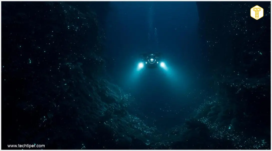
The vast majority of our oceans remain an enigmatic frontier for researchers, with their deepest reaches being particularly uncharted territory. However, a new generation of autonomous drones is poised to descend far deeper than ever before. By 2028, these advanced devices aim to help measure and map over 98% of the ocean’s immense volume, revolutionizing our understanding of Earth’s largest ecosystem.
Pushing the Boundaries: Drones Designed for the Deep Ocean
Scientists are currently developing cutting-edge autonomous underwater vehicles (AUVs) that promise to significantly expand our knowledge of deep-ocean phenomena. This exploration isn’t merely about discovery; it’s critically important for understanding our changing planet. As ocean waters warm, precise data on temperature, circulation patterns, and oxygen levels become increasingly vital for climate change research.
For decades, a significant portion of oceanographic data has been supplied by the international Argo program, which commenced in 1999. This global fleet comprises approximately 4,000 autonomous floats. However, most of these floats typically descend only to depths between 2,000 and 4,000 meters (approximately 6,500 to 13,000 feet). This presents a challenge, as many crucial processes related to ocean warming occur at even greater depths, beyond the reach of standard Argo floats.
The Deep-6000: A Breakthrough in Ocean Exploration
The French oceanographic agency Ifremer is at the forefront of addressing this challenge, developing its own innovative solution. Their prototype, the Deep-6000, successfully completed five dives to a remarkable depth of 6,000 meters (nearly 20,000 feet) this year, gathering invaluable data from what is known as the abyssal zone—the deep ocean floor. With this achievement, France joins the ranks of the United States and China, both of which have also developed specialized Argo floats capable of operating at such extreme depths.
The ambitious plan is to integrate an additional 30 deep-sea devices into the international Argo fleet by 2028. According to Ifremer, this expansion will dramatically increase the scope of measurements, potentially covering over 98% of the ocean’s total volume. This comprehensive data collection will offer unprecedented insights into deep-ocean dynamics, helping scientists refine climate models and better predict future environmental changes. For instance, understanding how deep ocean currents transport heat and carbon can significantly improve sea level rise predictions and coastal threat assessments.
Conquering Extreme Pressure: The Engineering Challenge
Operating at depths of 6,000 meters presents an extraordinary engineering challenge, primarily due to immense pressure. Ocean pressure increases by roughly one atmosphere (approximately 14.7 pounds per square inch) for every 10 meters (33 feet) of depth. This means that at 6 kilometers (3.7 miles) down, the pressure is approximately 600 times greater than at the surface. Such conditions can easily crush most conventional equipment.
The engineers behind the Deep-6000 had to design devices that not only withstand these crushing forces but also function reliably for years without direct human intervention. Their innovative design choices have been critical to the project’s success.
Innovative Design and Operation
The French-designed floats feature hulls constructed from advanced composite materials, a departure from the traditional, heavier, fully titanium solutions often used in deep-sea technology. Each Deep-6000 float weighs approximately 40 kilograms (about 88 pounds), roughly twice the weight of a typical standard Argo float. This increased mass is a necessary trade-off for a structure robust enough to operate in such a significantly harsher environment.
A typical Argo float mission lasts about 10 days. During most of this period, the device remains at a predetermined depth. It then descends even further, conducting measurements for several hours at its deepest point. Afterward, it ascends to the surface to transmit its collected information via satellite. This cycle repeats until the battery is depleted, which, in current designs, usually allows for about 150 such expeditions.

The data collected by these floats includes critical parameters such as temperature, salinity, oxygen levels, and pressure. Scientists leverage this information to better analyze ocean circulation, track sea-level rise, and understand climatic phenomena. These insights are crucial for improving models and forecasts concerning the environmental changes impacting our planet. The existing Argo fleet alone provides over 100,000 temperature and salinity profiles annually.
The new Deep-6000 deep-sea floats are set to complement this existing data by revealing what transpires even deeper, in zones that have historically been much harder to monitor. These deeper layers are significant reservoirs for storing heat and carbon. More precise measurements from these regions will enable scientists to gain a more accurate understanding of the rate and mechanisms of climate change. Advancements in oceanographic technology, much like those in space exploration and global scientific collaboration, are vital for pushing the boundaries of human knowledge and addressing global challenges.
Frequently Asked Questions (FAQ)
The primary goal of these new drones is to significantly expand our understanding of the deep ocean by measuring over 98% of its volume by 2028. This data is crucial for climate change research, providing insights into ocean warming, circulation, and oxygen levels at depths previously inaccessible.
While standard Argo floats typically descend to 2,000-4,000 meters, the Deep-6000 prototypes can reach 6,000 meters. They achieve this by using robust composite materials for their hulls, making them heavier but capable of withstanding the extreme pressures found in the abyssal zone.
Exploring the deepest parts of the ocean is vital because these regions play a critical role in global climate regulation. They act as significant reservoirs for heat and carbon. Data from these depths helps scientists better understand the pace and mechanisms of climate change, refine climate models, and predict future environmental impacts.
These deep-sea drones collect a range of essential oceanographic data, including temperature, salinity, oxygen levels, and pressure. This information is transmitted via satellite to researchers, enabling them to analyze ocean circulation, sea-level rise, and other critical climatic phenomena.
Source: Engadget, Internal Research.
Opening photo: Ifremer, Guillaume LE PROVOST.
About Post Author
