

Contents

Google Maps Unveils Groundbreaking AI Features for Enterprise and Navigation
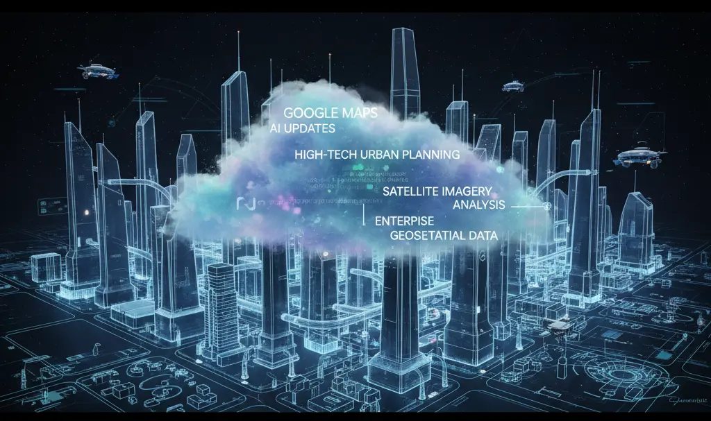
During the recent Cloud Next conference in Las Vegas, Google showcased a comprehensive suite of updates rolling out to Google Maps and its underlying architecture. The announcement highlighted powerful new spatial design tools driven by artificial intelligence. According to Google, these enhancements will be transformative for urban planners, data analysts, and enterprise businesses operating on a global scale.

Enterprise-Level Spatial Design Tools
The majority of the newly revealed features are tailored to enterprise users operating within the Google Cloud ecosystem, drastically reducing the time required for complex spatial analysis.
- Maps Imagery Grounding: This feature acts as a powerful design tool for corporate users. By leveraging the Gemini Enterprise Agent, professionals can generate realistic project visualizations simply by typing text prompts. This makes it incredibly easy to visualize a future construction site or a dynamic film set directly within a Google Street View environment, streamlining operational planning.
- Aerial and Satellite Insights: Analyzing massive datasets of satellite imagery typically stored in Google Cloud is now nearly instantaneous. Thanks to AI integration, geospatial analysis tasks that previously demanded weeks of manual labor can now be completed within a single day.
- Earth AI Imagery Models: Google launched two specialized artificial intelligence models built specifically to scan and interpret Earth imagery. These tools can automatically identify complex infrastructure—such as high-voltage power lines and bridges—vastly improving the accuracy and speed of geospatial analysis.
Google executives have openly expressed their enthusiasm for these rollouts. In an official press release, the company stated that these AI upgrades open up entirely new horizons for businesses, data scientists, and urban developers looking to build smarter, more efficient cities.
AI-Powered Enhancements for Everyday Drivers
While the enterprise updates steal the spotlight for developers, Google Maps remains at its core an essential application for everyday drivers. The recent announcements build upon a massive wave of consumer-facing upgrades designed to make daily commuting safer and more intuitive.
A major focus of recent rollouts has been the highly anticipated Immersive View update. Moving away from standard 2D top-down routing, this feature renders a three-dimensional view of your surroundings. It accurately maps environmental elements and recognizable landmarks, providing drivers with crucial context when navigating complicated intersections or unfamiliar highway exits.
Behind the scenes, the integration of stronger AI models is also paving the way for a faster location sharing and navigation update, ensuring that real-time traffic data and user locations sync faster and more reliably than ever before.
Frequently Asked Questions (FAQ)
How does Maps Imagery Grounding benefit urban planners and developers?
Maps Imagery Grounding leverages the Gemini Enterprise Agent to turn text prompts into realistic visualizations. This allows urban planners and developers to preview proposed construction sites, urban layouts, or temporary setups like film sets directly within a Google Street View environment, saving significant time and financial resources in the early planning phases.
Are the new Earth AI Imagery tools available to regular Google Maps users?
Currently, the new Earth AI Imagery models and Aerial and Satellite Insights are strictly targeted at enterprise users, data analysts, and developers utilizing Google Cloud infrastructure. However, the technological advancements from these enterprise tools often gradually improve the foundational map data and accuracy found in the standard consumer Google Maps application.
What makes the Immersive View different from standard Google Maps navigation?
Unlike traditional 2D navigation that displays a flat map, Immersive View generates a detailed 3D representation of your planned route. It renders key environmental factors such as recognizable buildings, landmarks, and spatial layouts in real-time. This visual context drastically improves spatial orientation and helps drivers anticipate complex turns and multi-lane intersections more safely.
Source: TechCrunch & Opening photo: Gemini